Step by Step
Hawaii Island’s Na Ala Hele trail system
Long ago, before motorized vehicles, before even mules and horses, the people of Hawaii traveled everywhere they needed to go by canoe, and on foot. According to need, well-worn trails became established along the shorelines, and across the island. At one time, a master network linked hundreds of miles of trails to Hawaiian settlements, historical and cultural and over 200 ahupuaa (traditional land divisions).
Over the years, weather, water, plants, animals, humans and development all took their toll on the trail system. As transportation needs changed, foot trails declined, re-routed, grew over and in some cases all-but disappeared—and may have, if not for the efforts of hikers, historians, and others with family linkage to specific regions.
In 1988, the State of Hawaii established the Na Ala Hele Trail and Access Program. Its mission was to preserve historic trails and public access to them, to protect them from development, and to manage their maintenance and care.
Although Na Ala Hele doesn’t include all of the hiking routes on Hawaii Island, the collection presents a nice diversity of environments, challenges, and more-than-rewarding hiking experiences. An interactive map is available here, with detailed information about each trail, including highlights, difficulty level, facilities and safety advice.
Hike Akamai
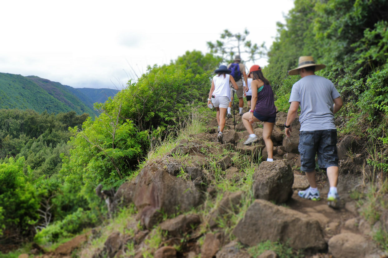
Before we hit the road, and take a closer look at a few of the Na Ala Hele trails, here are some general tips from the Island of Hawaii Visitors Bureau, in a video by trail safety expert Jason Cohn.
In general, please take some time to prepare for your hike, wherever you choose for your island adventure. Enthusiastic hikers, more often than you’d think, are so excited to hit the trail, they take off in slippers—or even barefoot—and leave their sunscreen and water bottles in the car. Please think akamai (smart) and plan ahead before you go.
For example, here’s a list of basic needs, to help make your hike a walk in the park:
- Good hiking shoes with tread
- Light pants to keep cool or shorts (but beware that you may get scratches from branches)
- Light shirt to keep cool
- Light rain jacket (especially if you are going into rainforests or valleys)
- Backpack with enough water, lunch and sunscreen (depending on length and intensity of hike)
- Mosquito repellent
- Cellphone
For longer, tougher hikes, also carry:
- Work gloves
- Sweater
- First Aid Kit
- Additional water and food
- Flashlight
- Compass
- Map
And, the inevitable, a few DON’Ts:
- Never hike alone. If for some reason you absolutely have to, please tell someone where you are going and how long you expect to be gone.
- Do not drink water from freshwater ponds or streams, and don’t walk in them if you have open cuts.
- Stick to the trail and follow trail head markers to avoid getting lost.
- Never climb gates or enter private property.
For more information, here’s a hiking safety brochure from Department of Land and Natural Resources.
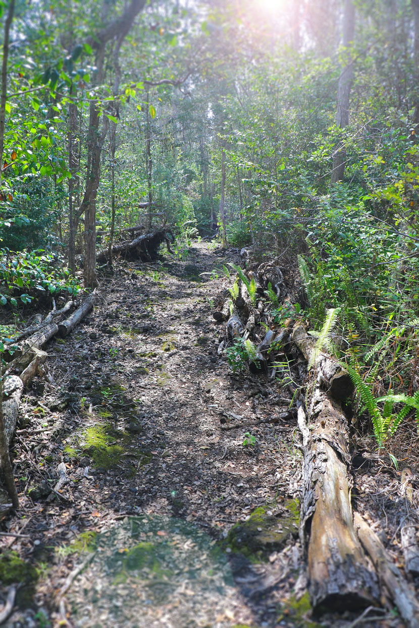
Here are a few of the Na Ala Hele trails to give examples of the variety of explorations waiting for you on Hawaii Island.
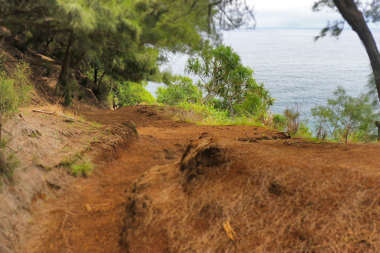
Ocean coast
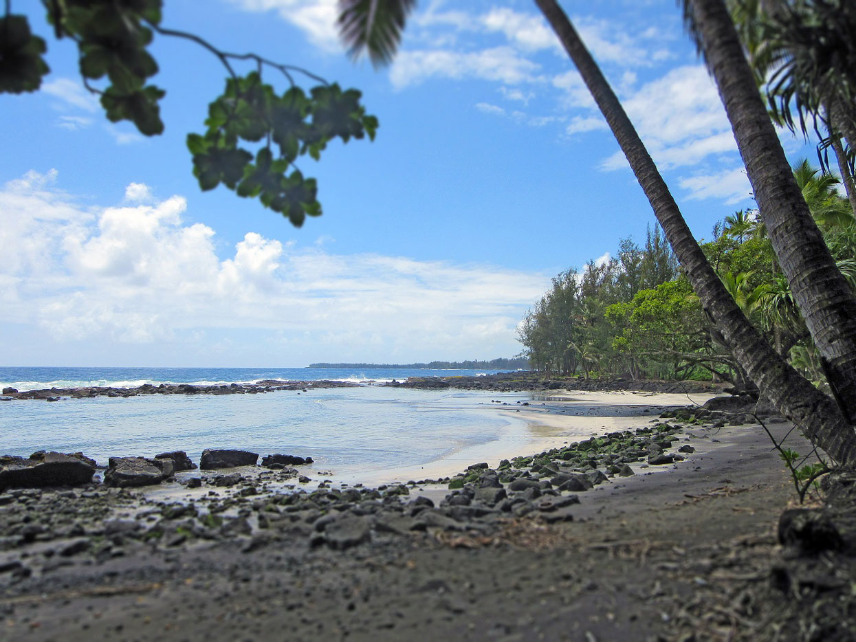
Ala Kahakai: 7.7 miles, “easy”
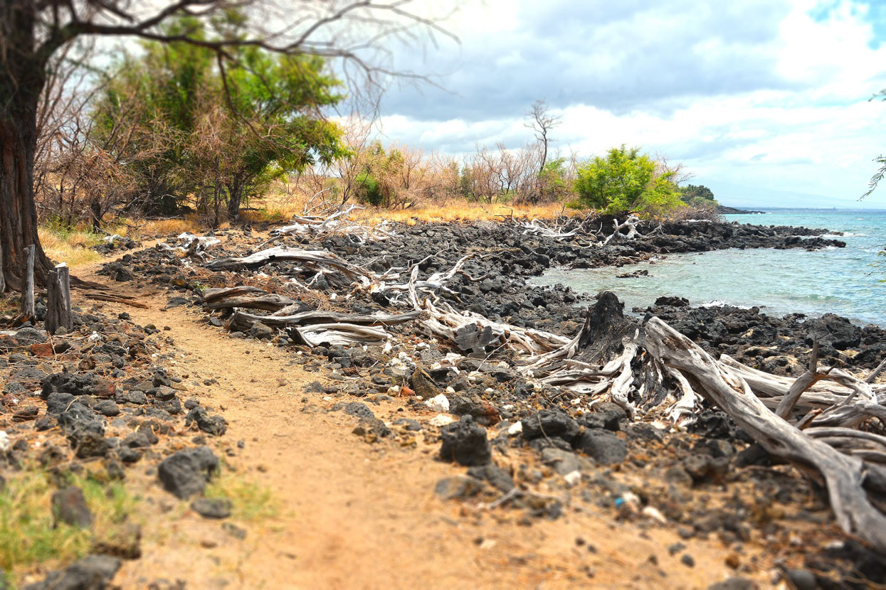
Traveling along the spectacular ocean coast in South Kohala, Ala Kahakai is one of the most beautiful, historic and fascinating trails you’ll find anywhere. And, with easy access and not-too-strenuous conditions, it’s suitable for a wide range of ages and skill levels.
The north end of Ala Kahakai starts at Ohaiula or Spencer Beach Park in Kawaihae, within view of the famous Puukohola Heiau (temple). This imposing stacked-stone structure was constructed at the decree of King Kamehameha I, who had rocks passed hand-to-hand from North Kohala to the site. It had been prophesied that if Kamehameha built this heiau, he would become ruler of all Hawaii. Not long after its completion, the islands, by conquest or treaty, were united into one Kingdom. Puukohola Heiau is a National Historic Site, with visitor center, gift shop, and annual reenactments of historic events.
Hikers trek south along the coastline, following in the footsteps of ancient travelers and fishermen, passing by some of the most beautiful white sand beaches on the island: Mauumae, Kaunaoa, and Hapuna (near Mauna Kea Resort).
At Holohokai, just north of Fairmont, the 223-acre Puako Petroglyph Archaeological Preserve tells its stories in over 3,000 kii pohaku (rock carvings). Here you’ll see images of people, canoes, turtles, and possible astronomical symbols. It’s important to stay on the trail, and not disturb the petroglyphs.
Further south are the well-established fishing communities of Kalahuipuaa (near Mauna Lani Auberge) and Anaehoomalu (at Waikoloa Beach Resort). For generations, a network of feeder ponds raised fish for bait and fish for food, particularly the prized anae (mullet), often reserved for alii chiefs. At Anaehoomalu, you’ll also find a large preserve of anchialine ponds. These brackish water ponds are unique ecosystems where a species of tiny opae ula (red shrimp) make their homes. Fishermen harvested these creatures to make bait balls for larger fish.
Waikoloa Beach Resort has partnered with the University of Hawaii at Manoa to maintain the anchialine ponds, including a well-marked pathway and educational signage.
This scenic section of the Ala Kahakai is part of a much longer trail that runs far to the south. Taking care of this extensive travelway was and is a cooperative effort between national, state and county governments and many community stakeholders. From an article in Ke Ola Magazine by Jan Wizinowich:
“The purpose and collective vision for the Ala Kahakai trail system was crafted over many meetings with community members, lineal descendants, landowners and other stakeholders both near and far. Their thoughts and stories led to Ala Kahakai NHTs (National Historic Trail) descendant-led, community-based approach to trail management. Community-based management means that the community takes an active role in trail management. The community provides crucial input in developing Hawaiian values-based policies for the Trail, in creating guidelines for management, and putting the policies and guidelines into practice in the day-to-day care of the Trail.”
Hikers need to know that Ala Kahakai is a valuable resource for Hawaii Island. And, it passes along both public and private properties, and significant historic/cultural sites. Please show respect by staying on the trail, and leaving nothing behind. In fact, really conscious hikers will take a second to pick up any trash they may encounter.
Forest Birds
Kaulana Manu Nature Trail: 1 mile, “moderate”
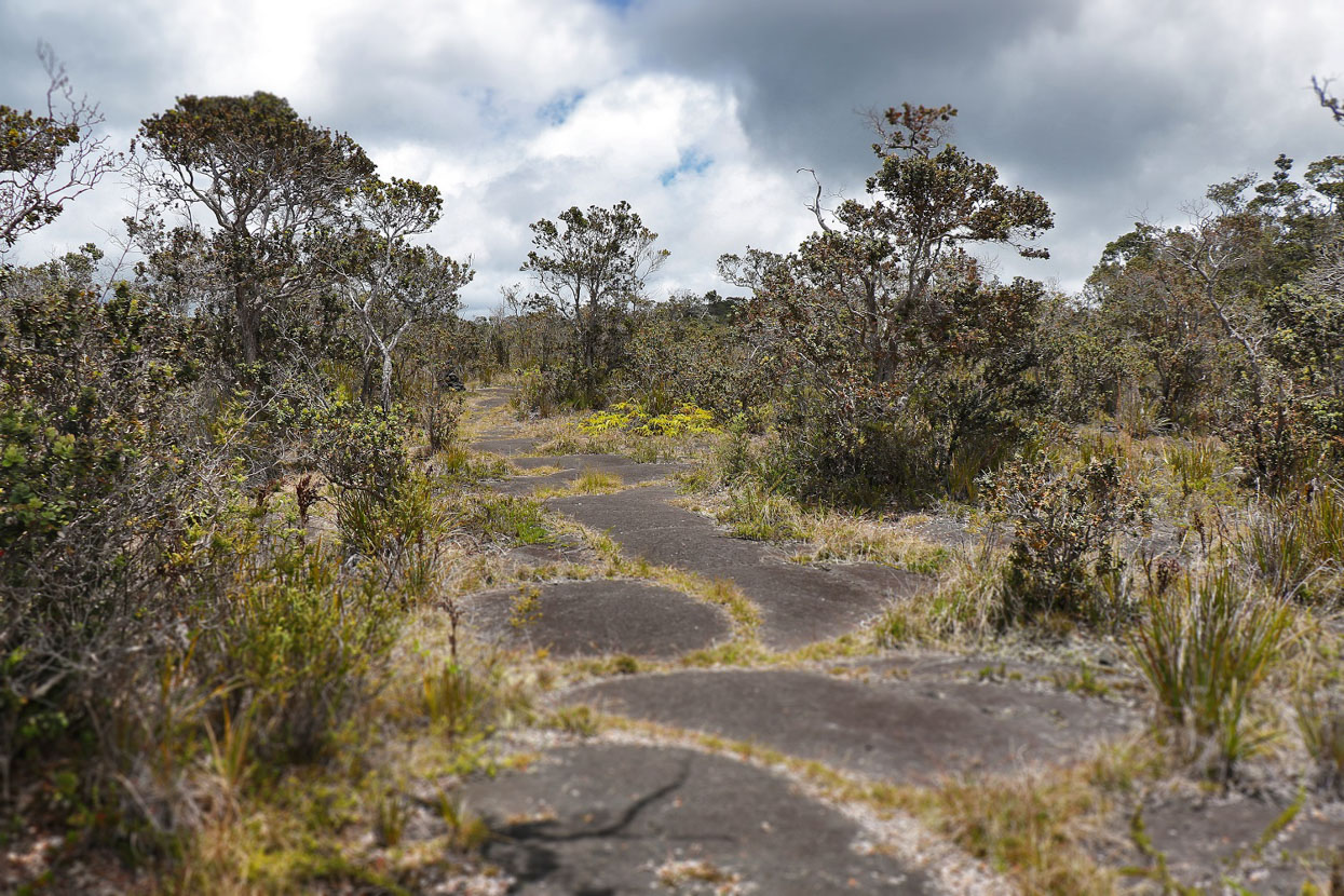
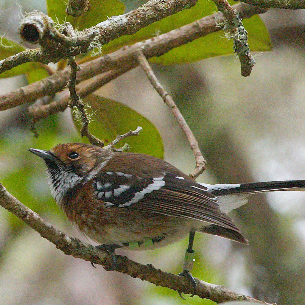
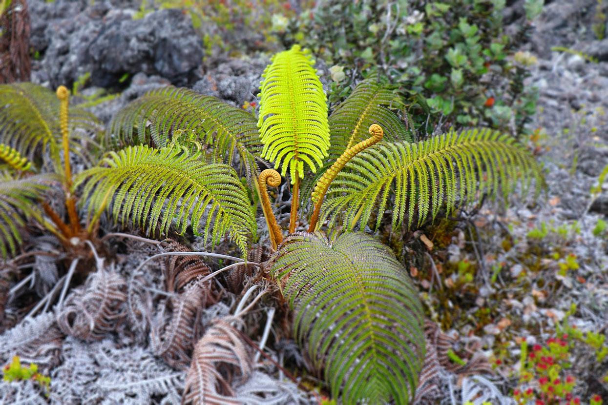
A very different experience is Kaulana Manu (famous bird), and a favorite part of the Hawaii Birding Trails system. Adventurers enter towering forests of mature koa and ohia trees, and hapuu ferns, home to at least 24 different bird species, including endemic io, elepaio, omao, apapane, and amakihi. The website has vivid photos, recordings of bird calls and detailed information.
As you walk, imagine that this fairly rugged trail was part of an old horse trail, which was the only route between Hilo and Humuula, until the U.S. Army built the Saddle Road in 1942.
Kaulana Manu Nature Trail is scheduled to reopen in 2020, after renovation of its parking lot and facilities.
Eastern Shoreline
Puna Trail: 2.5 miles, “easy”
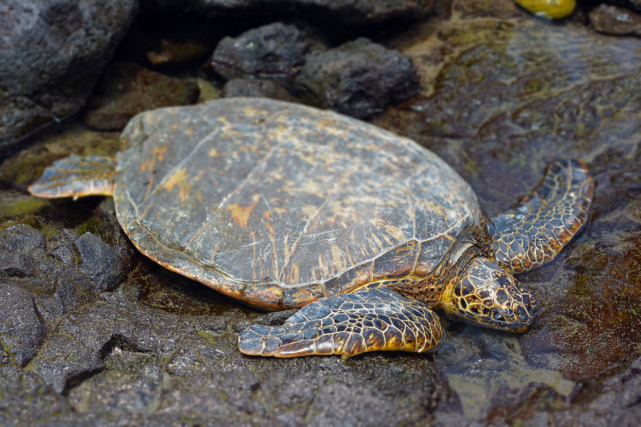
One of east Hawaii’s favorite hikes, the Puna Trail is a coastal journey down a historic carriage route through tropical jungle with ocean views along the way. In some places, rock pavement and curbs can be seen, along with rock walls that may have been home or school sites. Where the trail ends at Haena beach, hikers may encounter native honu (green sea turtles), or ilioholoikauaua (Hawaiian monk seal, “dog that swims in rough seas”). Please remember to give these endangered species space and enjoy watching them from a distance.
This area is also a private nene refuge, managed by the Shipman family since 1918. Their family estate was built by William Shipman, a rancher, in 1904. His son Herbert captured and raised several nene, possibly saving them from extinction. Respectful hikers will keep dogs leashed, and stay at the shoreline to avoid trespassing.
Help save a species
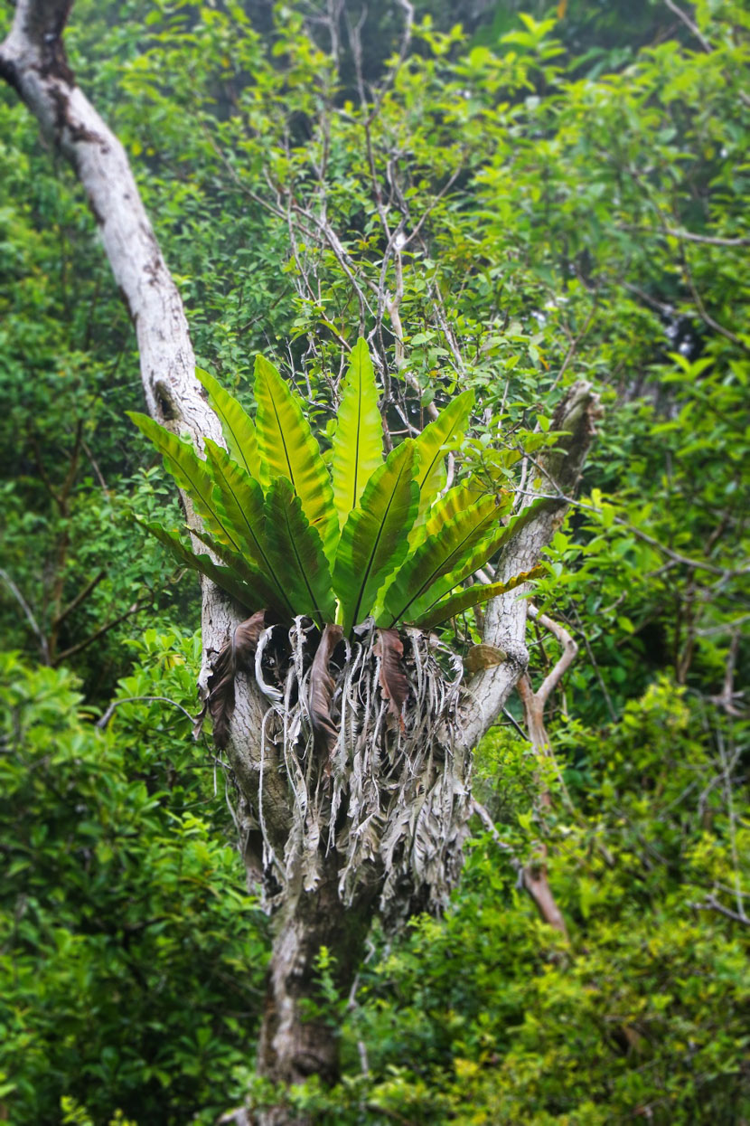
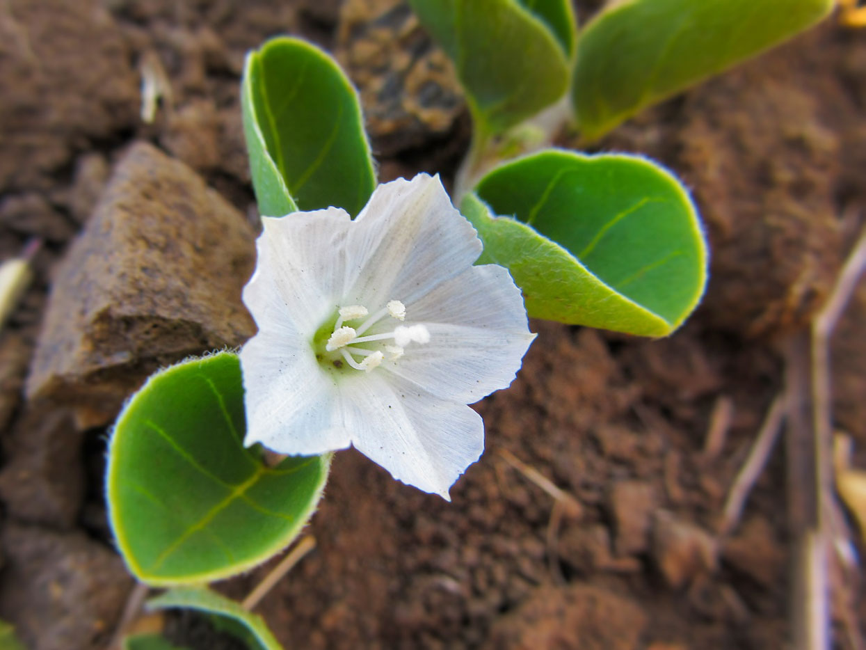
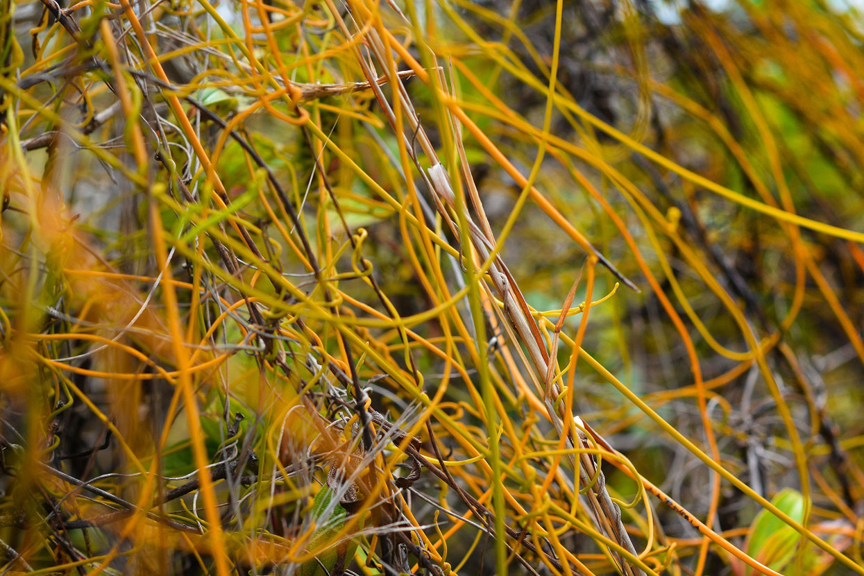
On the Puna Trail, Kaulana Manu and others, explorers will see the bright crimson, pink, yellow, orange or creamy-white blossoms of a very important tree, the ohia. Ohia wood is used for weapons, kapa beaters, poi boards and carvings. Its canopy was home to now-extinct mamo birds whose crimson feathers were used in royal featherwork. Its blossom, the lehua, is a prized lei-making flower for halau hula all across the islands. It is also in danger.
A serious and fast-spreading blight called Rapid Ohia Death (ROD) has devastated many Hawaii Island forests, and is now reaching other islands. Concentrated efforts by a group of organizations including the University of Hawaii at Manoa College of Tropical Agriculture and Human Resources, The Nature Conservancy and others, are working hard to hold the line.
The group has five simple recommendations to help prevent the disease from spreading. For hikers, the last two are most relevant:
4) Clean gear and tools, including shoes and clothes, before and after entering forests. Brush all soil off of tools and gear, then spray with 70% rubbing alcohol. Wash clothes with hot water and soap.
5) Wash your vehicle with a high pressure-hose or washer if you’ve been off-roading or have picked up mud from driving. Clean all soil off of tires and vehicle undercarriage.
To see the rest of the list, and to learn more about ROD, please visit RapidOhiaDeath.org or visit their Facebook page.
Historic Valleys
Pololu: 5 miles, “moderate”
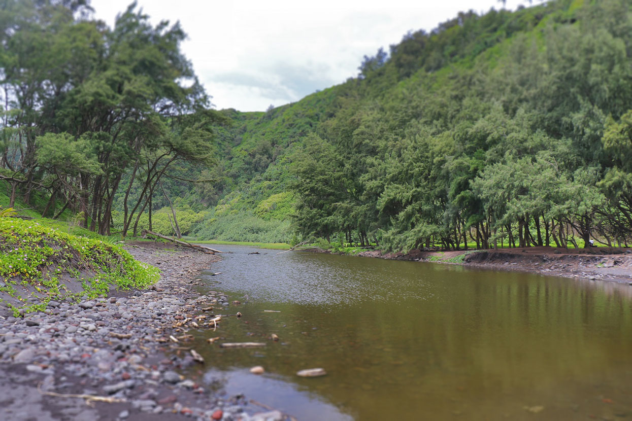
At the very end of the road in North Kohala, travelers are rewarded with the jaw-dropping view of Pololu Valley. Pololu was also known for kalo (taro) farming, particularly a red-leafed variety called “kalo pololu.” And, because the stream does not reach all the way to the back-valley wall, farmers also depended on floodwater to grow other crops, including sweet potatoes.
In 1906, the sugar cane industry opened the Kohala Ditch, a system of water flumes and tunnels that diverted water from natural streams. As farming became less of a way of life, most of Pololu’s residents moved away.
It’s a steep but rewarding climb down what was the Old Government Road, 420 feet to the tempting gray sand beach below. Smart hikers prepare for muddy conditions, and stay on the trail, as except for the shoreline, the valley is private property. Swimming can be dangerous, and there’s no cell phone coverage. In the valley, you’ll find an unspoiled environment of sand dunes, black, gray, red and white stones worn round by the waters, driftwood, a rushing stream, and lush forest.
More Hikes
For more hiking experiences, visit these websites:
Being Pono
Traveling Hawaii Island by foot, like the ancient residents did, is an exciting, visually stunning, invigorating and fun experience. Those who take the time to learn and enjoy with their feet on the ground can take away a whole new level of appreciation of the land and the life of Hawaii. Before you hit the trail, we invite you to take the Pono Pledge. It may help you remember to hike with aloha and be aware and respectful wherever you go. Mahalo!